


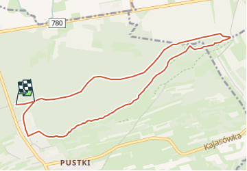


5.5 km | 7.2 km-effort


Tous les sentiers balisés d’Europe GUIDE+


FREE GPS app for hiking
 SityTrail
IGN / Geographical institutes
SityTrail World
The world is yours!
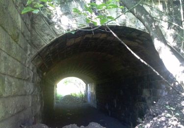
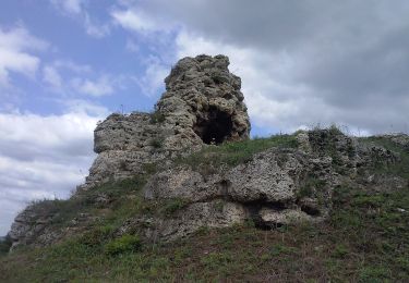
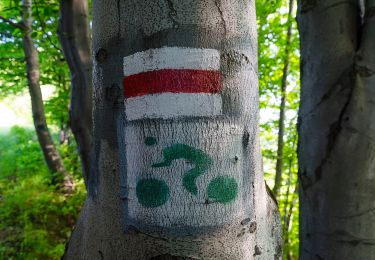
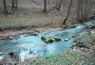
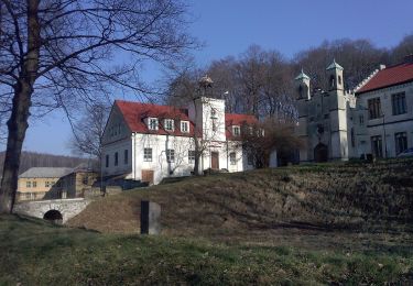
Trail On foot of 4.7 km to be discovered at Lesser Poland Voivodeship, Kraków County, Przeginia Narodowa. This trail is proposed by SityTrail - itinéraires balisés pédestres.


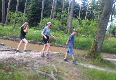
Walking
On foot
On foot

On foot
On foot
On foot
On foot

On foot
On foot